Pals of the Pacific
We had lots of help in our restoration and learned some things about GPS mapping (Global Position Satellite). Alan Carter-Moritimer and Steve Todd taught some Salmon Team members how to use the mapping equipment and Alan helped Ron to make this map of the streams in the Nick's Lagoon watershed. This is the very first time these streams have ever been mapped! And, on the day they made the maps, they counted more than 200 adult salmon in the longest stream.
Each of the red dots mark the spot where salmon could not swim upstream any further because lots of dirt was piled up to make a railroad line to bring logs down to Seabeck Bay in the 1800s. It was built up so high and long that it actually moved one creek away from its original location. Worse yet, Joe's Creek was actually cut off from more than 80% of its length. Its waters had been lost to salmon for many years.
When we dug the dirt away with heavy equipment, the streams found their way back home. We hope the salmon will too! You can see how much stream was added in the following aerial photo of the Nick's Lagoon Watershed.
Note: Move your mouse cursor over the picture to see the restored streams. You must keep your cursor over the picture while the restored picture loads.

Stream Number 1 is now known as Joe's Creek. Stream Number 2 is Dancing Feet Creek, and Stream Number 3 with its wealth of salmon is Nick's Creek. Stream 4 is Muddy Marc Creek and Stream 5, which still needs some work is Rick Creek.
 |
"Outback Rick" on the excavator. He dosen't look like Mother Nature but he did a heck of a job restoring the creek back to it's natural path. |
| Andrew and Bennie. Restoring creeks the old fashion way. | 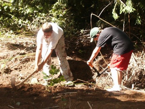 |